

Ride freely with our app !
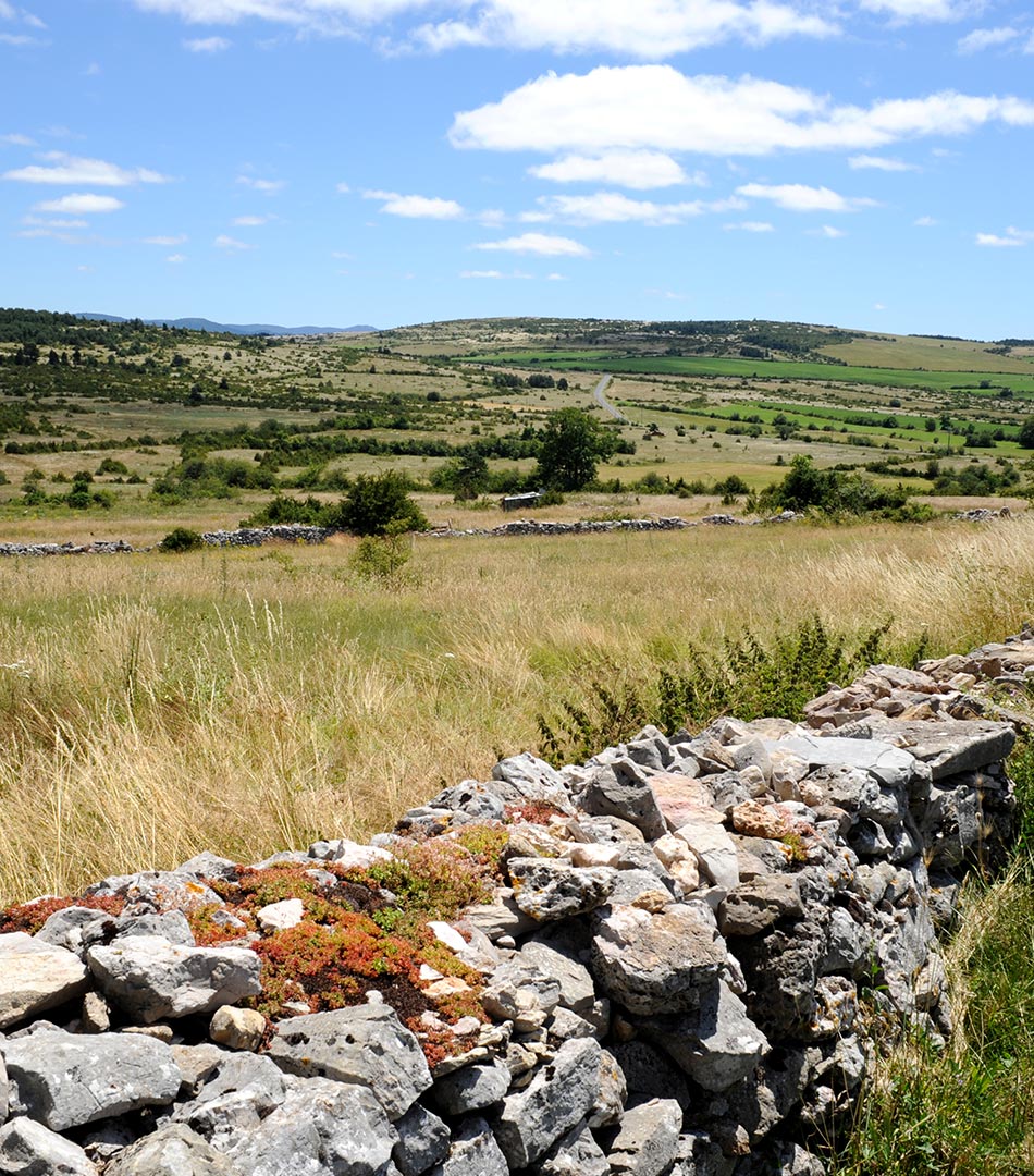
25% of the area of the Park / between 800 and 1,100 metres
4 main Causses: Sauveterre, Méjean, Larzac, Noir
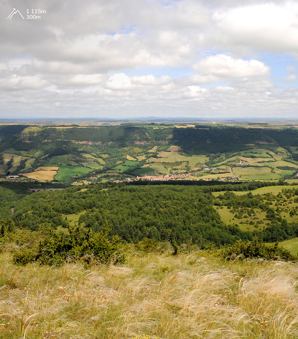
Huge plateaux, the Causses are made up of limestone lain down when the sea covered the region, 200 million years ago. They are separated by the Dourbie, Jonte and Tarn gorges, veritable canyons up to 500 metres deep carved in the thick beds of limestone. The upper parts of the gorges consist of steep rock walls containing many caves. At the feet of these cliffs, huge rockfalls spread across the softer rocks.
The Causses : drylands
1.04 Mo
Between 250 and 550 metres
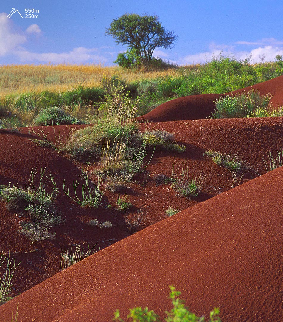
It is mainly composed of sandstone lain down in the Palaeozoic era, between 300 and 250 million years ago. It is drained by the Dourdou and Rance rivers.
The climate is hot and dry in summer, while the abundant water favours cereal production.

The Rougier de Camarès : an irrigated territory
1.15 Mo
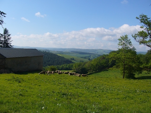
Between 300 and 1,155 metres (Puech du Pal on the Lévézou).
Nevertheless, the liming of the land, which began in the early 20th century, has made the Monts productive. Livestock rearing predominates and silviculture is widespread on the Monts de Lacaune.
More recently, the landscape of the Monts has seen the addition of windfarms. The altitude and the frequent winds optimise the yield of the generators.
The Monts : From wooded valleys to windy peaks
1.22 Mo
Rivers (Serre, Aveyron, Tarn, Dourbie near Nant, Cernon, Sorgue) have cut valleys into these plateaux which stretch from the north to the south of the Park at an altitude of around 650 metres. Fertile and irrigated by many springs, the avant-Causses have attracted Man since ancient times and have become sweeping farmlands dominated by sheep and cattle rearing. The sheltered slopes, such as those in the Tarn valley, are covered in orchards and vineyards, traditionally in terraces. The Park’s three towns – Millau, Saint-Affrique and Séverac-le-Château – have developed in this landscape.
The Avants-Causses : Fertility and abundance
1.05 Mo

Discover the history of our villages with a fun application dedicated to the discovery of heritage that will delight the whole family!